In March, APEGS and the Saskatchewan Geological Society (SGS) introduced GeoExplore Saskatchewan.
With this new website you can explore the province’s extraordinary geoscience features like the Athabasca Sand Dunes and uranium in the north, potash in south-central Saskatchewan, and Castle Butte and the Cypress Hills in the south.
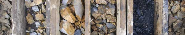
Photos and short explanations from about 80 geoscience points of interest are superimposed on a digital road map of the province. Additional thematic panels further explain geoscience in plain language.
While many of the features are accessible along highways and secondary roads, some are remote, like the Athabasca Sand Dunes, so the website also shows many unexplored geoscience treasures in places not easily reached.
To celebrate Engineering and Geoscience week with students, APEGS and the SGS demonstrated the website to over 600 Regina and area students and provided hands-on learning experiences March 3 – 4.
The idea for GeoExplore Saskatchewan began as a way to digitalize the printed Geological Highway Map of Saskatchewan, created in 2002. A working committee was formed of volunteer geoscience professionals from APEGS, SGS, Saskatchewan Geological Survey, Saskatchewan Mining Association, University of Regina and University of Saskatchewan. Other contributors of photographs or expertise were Tourism Saskatchewan and Royal Saskatchewan Museum.
The websites of APEGS, Saskatchewan Geological Society and Saskatchewan Mining Association all link to GeoExplore Saskatchewan.
Everyone involved hopes people use GeoExplore Saskatchewan to explore the province and discover new destinations.
The Saskatchewan Geological Society also looks forward to posting people’s photographs of Saskatchewan’s cool geoscience features and landscapes on its website. Email photos to sask.geol.soc@hotmail.com along with your consent and the photo’s location.